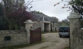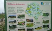

le Louroux

fustier
User

Length
21 km
Boucle
Yes
Creation date :
2019-04-10 08:00:30.205
Updated on :
2019-04-16 10:08:17.806
5h55
Difficulty : Very easy

FREE GPS app for hiking
About
Trail Walking of 21 km to be discovered at Centre-Loire Valley, Indre-et-Loire, Le Louroux. This trail is proposed by fustier.
Description
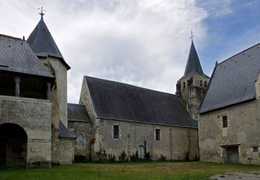
Le Louroux est un espace naturel bien aménagé pour regarder les oiseaux. la randonée ce termine par la visite du prieuré et du moulin dit "banal"
Positioning
Country:
France
Region :
Centre-Loire Valley
Department/Province :
Indre-et-Loire
Municipality :
Le Louroux
Location:
Unknown
Start:(Dec)
Start:(UTM)
332048 ; 5225149 (31T) N.
Comments
Trails nearby
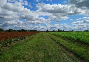
le Louroux - variante PR Boucle 2 - 17km 105m 3h45 (45mn) - 2023 09 27


Walking
Easy
Le Louroux,
Centre-Loire Valley,
Indre-et-Loire,
France

17 km | 18.3 km-effort
3h 45min
Yes
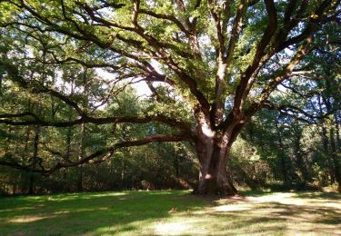
Louans - les Trois Chênes - 13.1km 55m 3h00 (40mn) - 2023 09 22


Walking
Easy
Louans,
Centre-Loire Valley,
Indre-et-Loire,
France

13.1 km | 13.9 km-effort
3h 0min
Yes
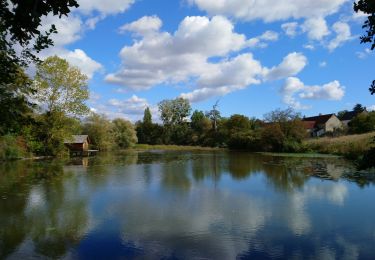
Louans - PR Grande boucle - 17.2km 80m 3h30 - 2020 10 10


Walking
Easy
Louans,
Centre-Loire Valley,
Indre-et-Loire,
France

17.2 km | 18.2 km-effort
3h 30min
Yes
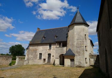
Saint-Bauld - La Vallée de l'Echandon - 16.4km 170m 3h35 - 2020 09 26


Walking
Easy
Tauxigny-Saint-Bauld,
Centre-Loire Valley,
Indre-et-Loire,
France

16.4 km | 18.7 km-effort
3h 35min
Yes
Le Louroux - boucle 1 - 20.9km 100m 4h45 (35mn) - 2019 07 28


Walking
Easy
Le Louroux,
Centre-Loire Valley,
Indre-et-Loire,
France

21 km | 22 km-effort
4h 45min
Yes
Étang du Louroux


On foot
Easy
Le Louroux,
Centre-Loire Valley,
Indre-et-Loire,
France

5.5 km | 5.8 km-effort
1h 19min
Yes
Manthelan


Walking
Easy
Manthelan,
Centre-Loire Valley,
Indre-et-Loire,
France

9.2 km | 9.9 km-effort
2h 1min
Yes

St Bauld


Walking
Easy
Tauxigny-Saint-Bauld,
Centre-Loire Valley,
Indre-et-Loire,
France

10.8 km | 11.9 km-effort
2h 38min
Yes

Retour sortie ferme bio La Cheptellière


Mountain bike
Easy
Saint-Branchs,
Centre-Loire Valley,
Indre-et-Loire,
France

11.2 km | 12.2 km-effort
Unknown
No


 SityTrail


